

San Bernardino map – ACSC
$15.00
+ Shipping1930s San Bernardino County Map | Auto Club of SoCal
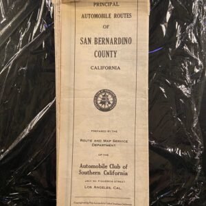
The Gateway to the Desert. This authentic 1930s regional map by the Automobile Club of Southern California (ACSC) captures San Bernardino County during the golden age of California motoring. A detailed historical record of the largest county in the United States before the arrival of the modern freeway system.
Product Specifications
-
Era: Vintage (c. 1930s)
-
Publisher: Automobile Club of Southern California
-
Region: San Bernardino County (including the Inland Empire, Mojave Desert, and mountain regions)
-
Style: Signature ACSC high-contrast black-and-white cartography.
-
Key Features: Early Route 66 alignments, historic mountain passes, and desert outposts.
Why It’s a Collector’s Essential
The ACSC was the gold standard for Western cartography in the 1930s. This map meticulously documents the original “Mother Road” era of San Bernardino, showcasing the rural junctions and pioneering desert tracks that defined early 20th-century travel. Its clean, industrial aesthetic makes it an exceptional piece of wall art for historians and Route 66 enthusiasts alike.


Reviews
There are no reviews yet.